Up from Felixstowe is Ramsholt. A small place now and always seems to have been. The Ramsholt dock would have shipped out Coprolite until the 1880’s, but when that industry went into decline the dock would have then been used to ship in and out other goods like straw and coal. There was a brief revival of the processing of Coprolite for munitions in the first world war, but what this area’s contribution to that requirement I cannot find any reference to although mining was extended west into Bedfordshire. There was a munitions factory in Coprolite Street Ipswich which suggests that it was using processed Coprolite for munitions.
Even in 1855 there was a very small number of residents with the village holding some 200 souls. Looking at the old ordnance survey maps there looks to be not very many houses to house this 200, although the number would have covered the whole parish. Even Wikipedia does not give the entry more than a couple of paragraphs. Whites Directory described the Village as opposite the Kirton Sluice. What a waymark to have your village described as opposite.
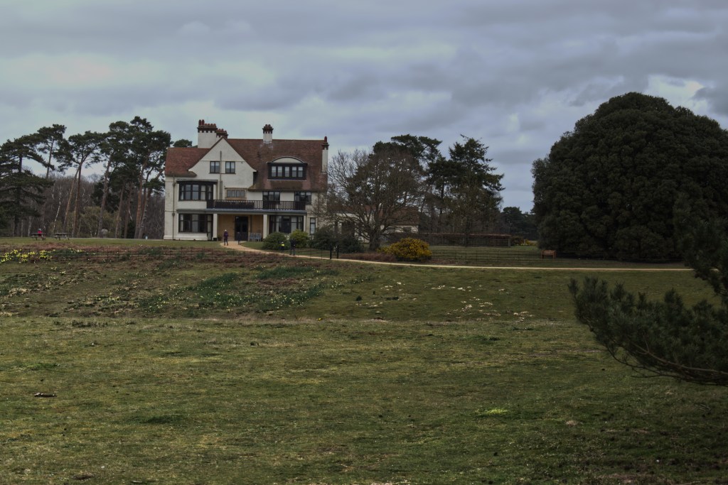
There is a farmhouse mentioned in the White’s entry known then and now as Peyton Hall. It was the seat of the Peyton family who in the reign of Henry the third assumed the name of Ufford, from where I suspect the area to the North, near Melton, got its name. On my old Ordnance Survey map some houses are shown to the North of the Dock which would have been reached either by footpath from the Dock or via a sunken track above the springs which still exist. One senior member of this village had a friend when she was a child who lived in one of the cottages and can recall the buildings in this part of the village being pulled down. In another article it appears that the houses may have been pulled down to quieten the area for wildfowling!
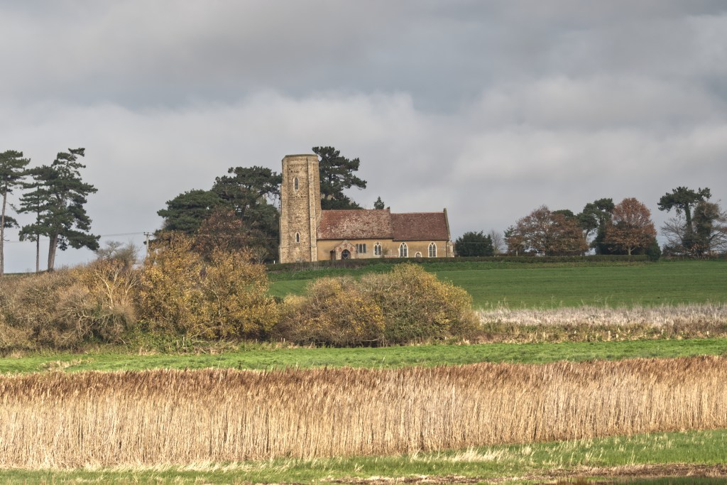
As you near the dock at Ramsholt when walking east along the sea wall you get some marvellous views of All Saints, the Parish Church. It is particularly photogenic when the sun is shining and using a short lens allows you to get in the land which leads up to the church and graveyard. This picture above is in the lee of an old creek now cut off from the river, but no doubt still filled by the stream that runs down the valley to the right of the picture or the water which bubbles to the surface on the slope by the church.
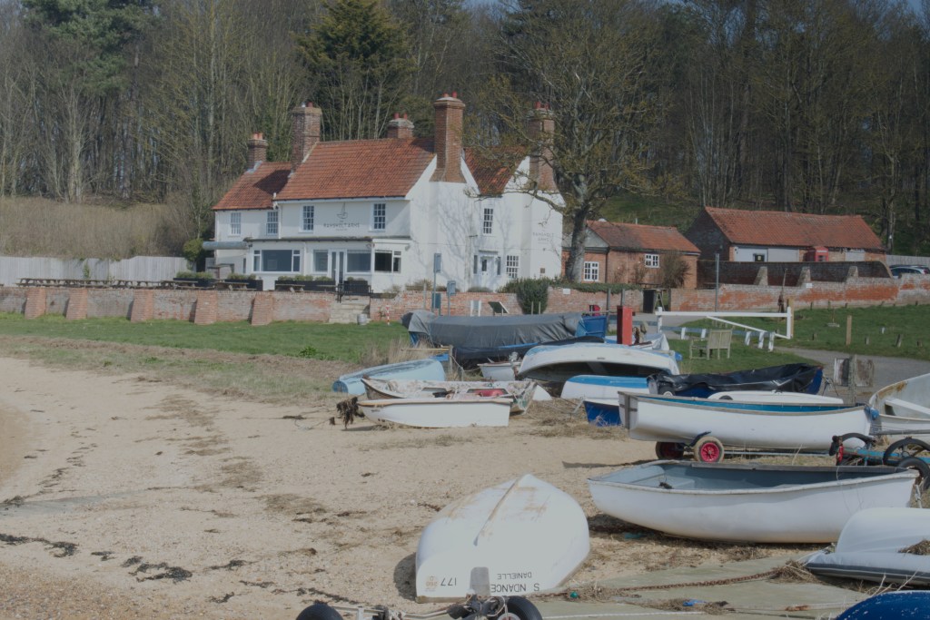
Near the Dock is one of the ‘go to’ pubs on the Peninsula the Ramsholt Arms. It is quite a lovely pub and I hope now that we are finished with the pandemic it will get back to where it was, busy and a good place to visit for a nice meal, although, like most pubs on the Peninsula, you need to book early in the summer. The Ramsholt is the third of three pubs that existed in Ramsholt but not at the same time. A very old pub existed below the houses which have since pulled down, mentioned above. After this, a pub existed in 1855 and was on the road out of Ramsholt Dock. This was called the Dock Inn. In 1861 the Dock Inn shows Tomas Dun as Publican with his wife and four sons and three daughters. The census also indicates that he was also a shoe maker which looks to be a trade amongst Inn Keepers in other Villages. Quite where he got the time with that large a family is a mystery.
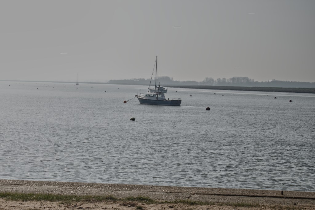
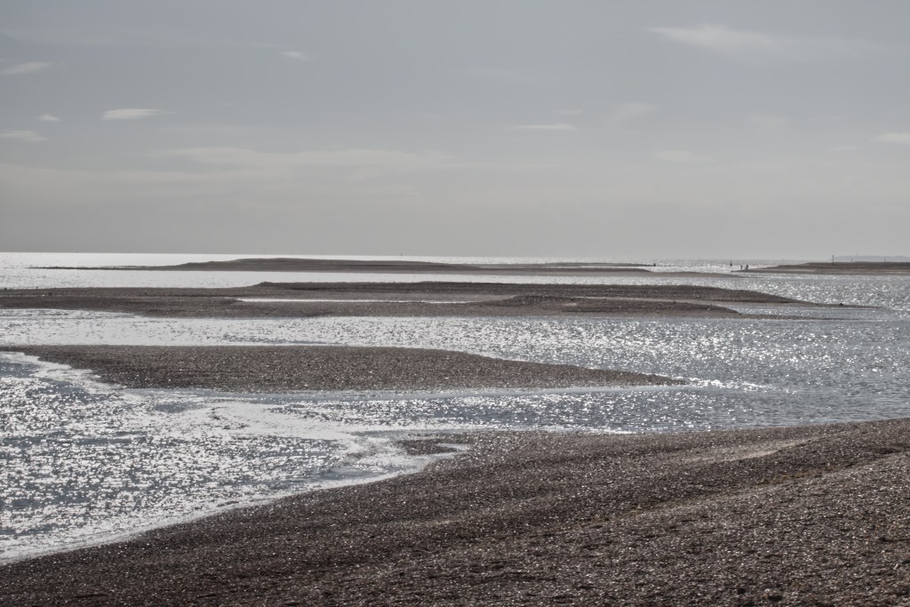
The current pub, the Ramsholt Arms came some time later. In my old Ordnance Survey Map, around the end of the 1800’s shows a building where the Arms is today and is named Dock House. In the first decade of the 20th Century the pub had a licence although it started as a Hotel for visitors. I would think that if it had rooms now they would be filled in summer. Upstream from Ramsholt is an area of rocks in the river bed. There were more but some were removed to build Orford Castle. This is worth a visit. Along this stretch of river on my old ordnance survey map are noted a couple of disused oyster beds. The industry must have been far larger in Victorian times when the oyster was seen as a staple food for the masses, not a delicacy.
I found something interesting in the History of Suffolk 1855, which names the Lord of the Manor as Joseph White of Sutton Hall Cheshire. I assume that this is correct and he is living in a different County to our Sutton Hall. His was not that the majority land owner in Ramsholt, the majority being owned by Peter Thellusion, an Huguenot who’s family fled from France to Geneva. He had a Bank in London and became very rich by making loans to the Government and speculating in grain, eventually becoming the Governor of the Bank of England. His son became Baron Rendlesham. His many business interests included, slavery, sugar, estates in the West Indies and a lot of land in Ramsholt. By the time Whites History of Suffolk 1855 was published, he had passed and had set up a trust which benefitted his future generations rather than his offspring. An Act of Parliament was passed stopping the making of wills on this basis. Although he owned a lot of Ramsholt I cannot find that he ever lived there having houses in Bromley, Kent, and on the Brodsworth Estate in South Yorkshire.
It is not possible to write about the Deben without mentioning Sutton Hoo. As we have seen above there are many ancient artefacts around the Deben and by far the most famous were those buried with the King of East Anglia Rædwald who reigned over the modern day counties of Suffolk and Norfolk (South Folk and North Folk). I am not going to say much about Sutton Hoo because there is so much written and filmed about it. The Dig, film, if your have not seen it is a must and fictionalises the discovery of the burial by Basil Brown, employed by Mrs Pritty the owner of the house on the land. It will give you a good idea of the Suffolk dialect which was taught to Ralph Fiennes by the very knowledgeable Charlie Haylock. My current read is on the burial and artefacts in ‘The Sutton Hoo Story’. You may think it is a bit dry if you are a lover of fiction but I will ensure that I read it to the end.